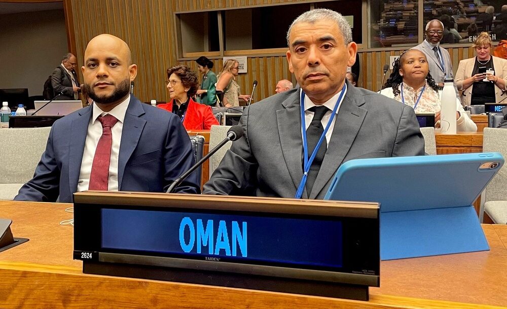

NEW YORK – The Omani delegation was headed by the Acting Chairman of the National Survey and Geospatial Information Authority at the Ministry of Defence
The session addressed a range of key topics related to geospatial information governance, including the strengthening of global and regional management frameworks, the contributions of regional committees to the Global Geospatial Information Management Plan, and the role of thematic networks in shaping the future geospatial landscape.
The meeting also addressed the United Nations Integrated Geospatial Information Framework, the Global Geodetic Reference Framework, the use of geospatial information for sustainable development and its climate and environment-related uses. It also discussed legal frameworks and policies, issues related to reference data and emerging technologies, as well as the implementation and adoption of standards for global geospatial information communities, and the extent to which the United Nations Global Geospatial Information Centres (off-site) can contribute to strengthening global geospatial information management arrangements.
Read More
- Oman, UK seek stronger ties at London talks
- India, Oman explore defence manufacturing ties as companies sign drone cooperation pact
- Regional conflicts disrupt trade, Oman transport minister urges supply chain investment
- Taxi drivers call for fare review in Oman as low app prices squeeze earnings
- Oman hosts maritime forum to strengthen global trade and supply chains