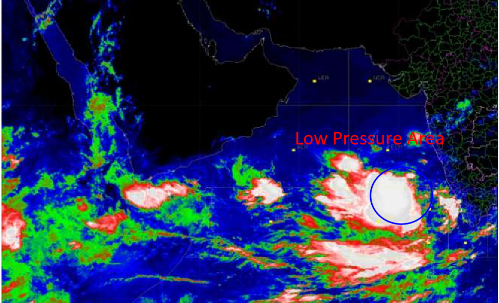

New Delhi: A low-pressure area formed over Southeast and adjoining Lakshadweep & East Central Arabian Sea. It is very likely to intensify into a depression over Southeast and adjoining East Central Arabian Sea during next 48 hours, according to Indian Meteorological Department.
“It is likely to move North-North-Westwards and intensify further into a cyclonic storm during subsequent 24 hours,” the IMD reported.
However, Skymet Weather, a private weather monitoring system, says a different path.
Read More
- His Majesty Sultan Haitham returns home after Kazakhstan visit
- His Majesty Sultan Haitham concludes state visit to Kazakhstan
- Oman, Kazakhstan seal $150 million fund and energy deals during His Majesty’s visit
- India condemns attack on commercial vessel off Oman, 12 crew injured
- Oman and India renew maritime security pact to safeguard navigation routes
Skymet says that the weather system which is presently seen as a low-pressure area would be moving parallel to the West Coast.
The system is likely to maintain a sufficient distance from the coast but would give good rains and strong winds right from Kerala to Coastal Karnataka to Konkan & Goa.
By the time, this likely cyclonic storm reaches North Arabian Sea, it would have been intensified into a cyclonic storm and would also re-curve along the coast. As per the weather models, the probable cyclone is most likely to hit Pakistan coast near Karachi.
While moving into this direction, there are bright chances that it might brush parts of Gujarat coast like Saurashtra and Kutch. In wake of this, weathermen are predicting heavy to very heavy rains around June 12 or 13.





