
MUSCAT – The package of navigational charts is aimed at enhancing navigational safety levels in Omani waters.
Adopted by the International Maritime Organisation, this project serves as the initial core for further packages of electronic navigational charts under the S-100 Universal Hydrographic Data Model project. Consequently, the Sultanate of Oman has become a leader among regional countries in producing this type of electronic navigational chart.
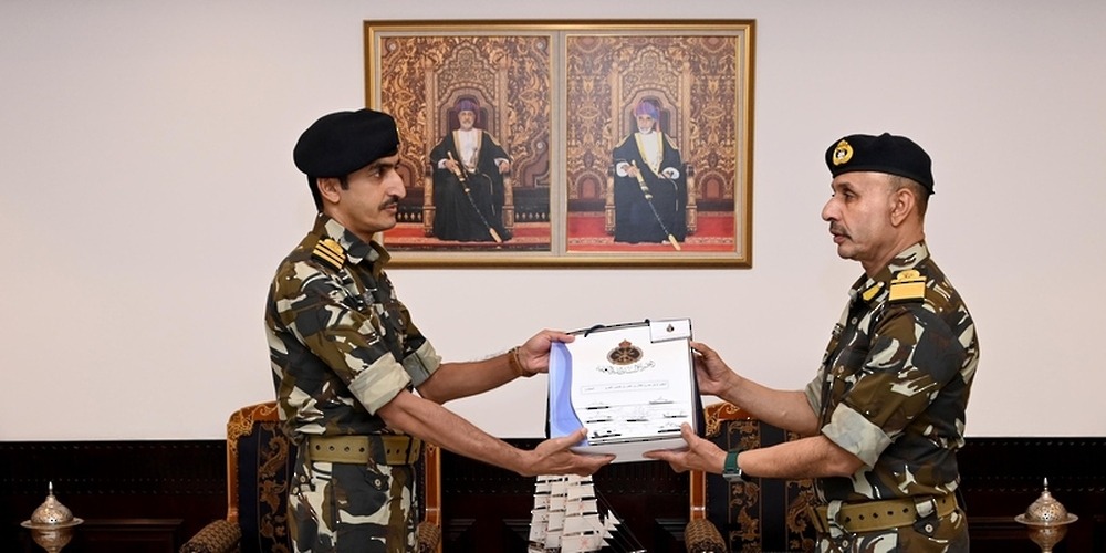
In recognition of this achievement, Rear Admiral Saif Nasser Al Rahbi, Commander of the Royal Navy of Oman, honoured the members of the Universal Hydrographic Data Model project team from the Oman National Hydrographic Office at his office in Al Murtafa’a Camp today.

Read More
- Oman breaks ground on RO 5.8 million tourism and commercial project in Masirah
- Oman airports handle 9.3 million passengers by end of August, down 7.1%
- Over 700 banned tobacco products seized in Oman’s Masirah Wilayat
- Muscat Municipality warns against illegal worker housing in residential neighbourhoods
- Omani doctor injured in Riyadh airport attack, embassy says





