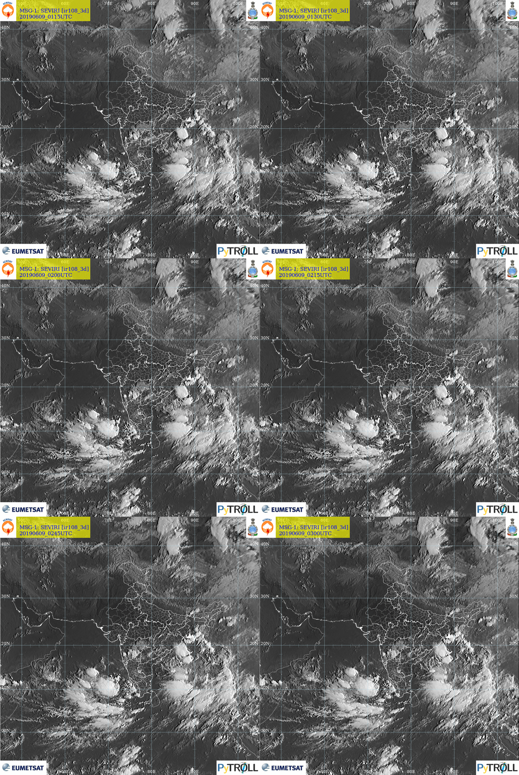

Muscat: A cyclonic circulation over Lakshadweep area & adjoining Southeast Arabian Sea extending up to 4.5 km above mean sea level is persisting and under its influence, a low-pressure area is very likely to form over southeast and adjoining east central Arabian Sea during next 12 hours, according to Indian Meteorological Department.
“It is likely to move North North Westwards and intensify gradually,” the IMD adds.
However, the picture is not clear whether it will head to Oman or not.
Read More
- Travel agency representative in Muscat jailed, agency shut for a year over cancelled trips
- Oman’s CDAA urges mountain safety after foreign national critically injured in Jabal Shams fall
- Oman’s media must adapt to AI while upholding accuracy, minister says
- Oman forecasts thunderstorms from October 25 as low-pressure trough approaches
- Oman, UK agree to deepen defence, investment and technology partnership
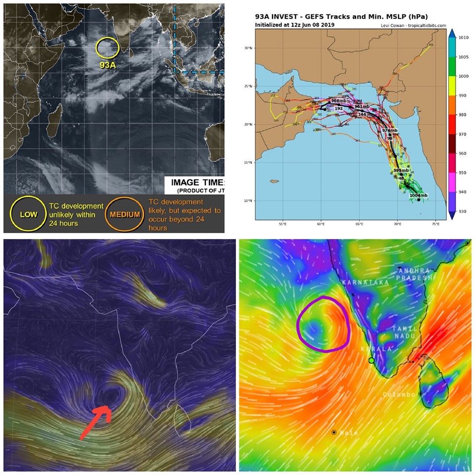
Meanwhile, Skymet Weather added that the low-pressure area has been travelling in favourable weather conditions of extremely warm sea surface temperatures and low vertical wind shear.
“With this, it has been gaining strength continuously and we expect it to intensify into a depression in the next 48 hours. It has the full potential to become a cyclonic storm or even into an extremely severe cyclone,” the weather channel added.
After a delay of a week, monsoon hit the Kerala coast on Saturday, marking the official commencement of the four-month rainfall season in the country.
“Monsoon has made an onset over Kerala today (June 8),” said India Meteorological Department’s Director General-designate Mrutyunjay Mohapatra.
Several parts of Kerala have started receiving a good amount of rainfall.
However, as the system gets more powerful, rains would start reducing over the Indian mainland. Though West Coast would see some rains but rest parts would see significant drop in Monsoon rains.
The probable cyclone would then govern the wind pattern, where in it would tracking north-northwest, running parallel to the coast but maintaining sufficient distance.





