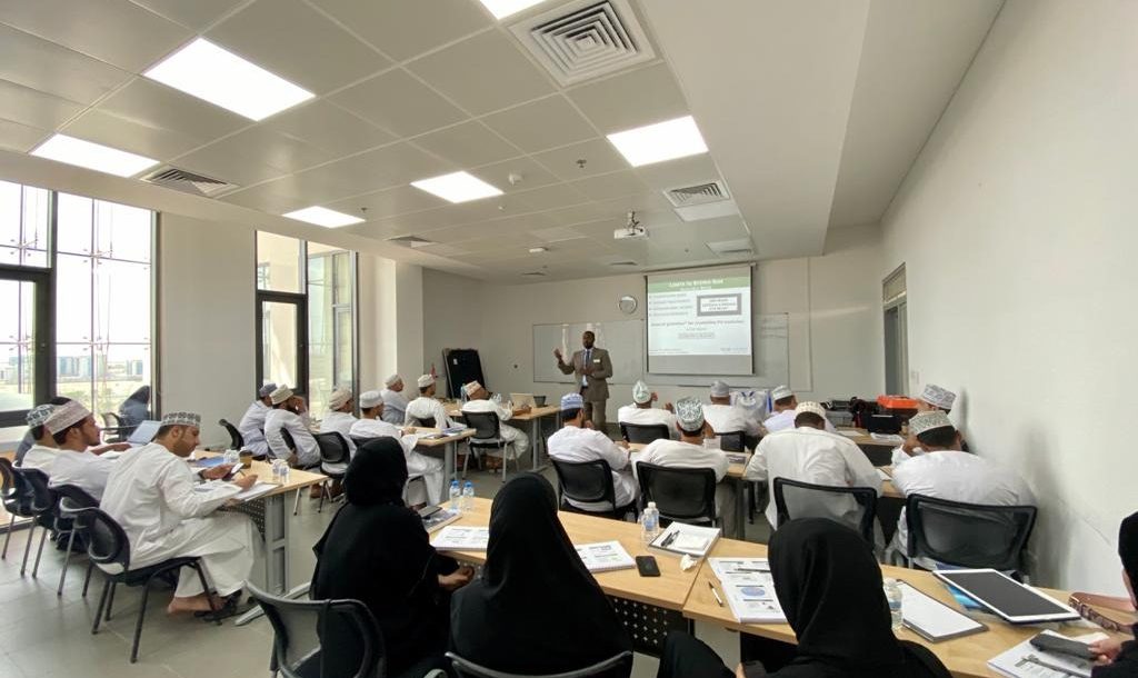
Muscat – The training course, to be held from February 25 to 29 at the Code Academy head office, targets startups, small and medium enterprises, and government employees who are specialized and interested in space science and applications, as well as satellite image analysts who are looking to hone their skills in the field of satellites and their applications.
It aims to refine the skills of beneficiaries with modern technologies in the field of spatial maps, satellite data and their applications; provide beneficiaries with practical skills in analyzing and processing spatial maps from satellites; and qualify small and medium-sized companies operating in the sector.
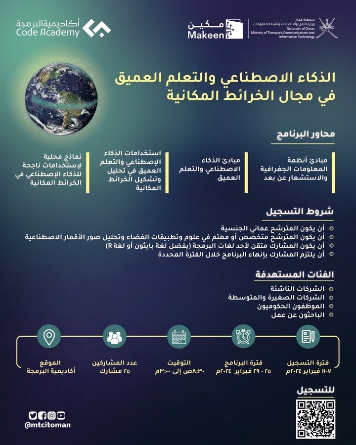
Registration for the course is open to Omani nationals who are specialized or interested in space science and applications and satellite image analysis. The participant is required to be proficient in one of the programming languages (preferably Python or R), and must commit to complete the program within the specified period
The training program combines theoretical and practical aspects and focuses on applied aspects in the following areas:
- Principles of geographic information systems and remote sensing
- Principles of artificial intelligence and deep learning
- Uses of artificial intelligence and deep learning in analyzing and forming spatial maps
- Local models of successful uses of artificial intelligence in spatial maps
Registration will be open until February 11.
Read More
- Oman launches air bridge to deliver humanitarian aid to Nepal
- His Majesty Sultan Haitham begins inspection tour of wilayats in Al Dakhiliyah Governorate
- Oman’s tradition of listening can guide economic decisions, TAS CEO tells Conclave
- 12 expats arrested in Oman for labour and residency violations
- TAS Conclave opens today with Oman’s investment outlook in focus