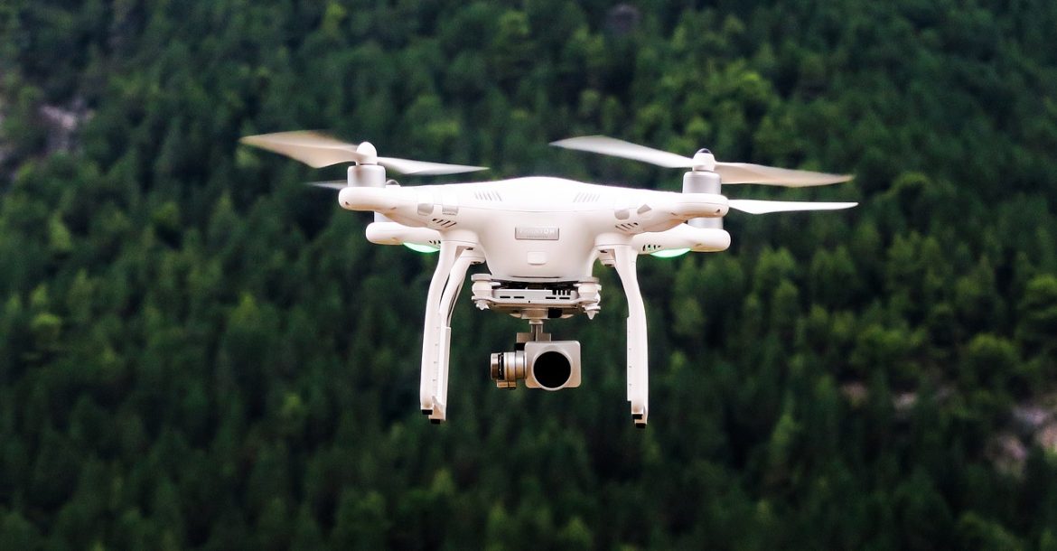

MUSCAT : In a joint effort between Oman Lens Company and Phoenix Space and Technology Company, an experiment was conducted under the auspices of the Ministry of Agricultural Wealth, Fisheries, and Water Resources. The objective is to utilize cutting-edge satellite and drone technology for accurate agricultural census operations.
During the initial phase of the experiment, satellite images were meticulously analyzed using advanced algorithms specifically trained to count palm trees. Subsequently, a self-driving aircraft, commonly called a drone, was deployed to validate the mechanism’s efficiency. This multi-layered approach thoroughly and precisely assessed palm tree populations across targeted areas.
As the experiment progressed, a team was dispatched to conduct traditional counting methods, serving as a crucial benchmark to verify the accuracy of the results obtained through satellite and drone analysis. The seamless integration of conventional methodologies with state-of-the-art technology underscores Oman’s commitment to embracing innovation while ensuring the reliability of data-driven insights.
Read More
- Oman energy minister to lead high-profile gathering at 6th TAS Conclave
- Oman International Financial Centre unveils five key regulations to attract global investors
- Oman to launch new tourism routes, digital booking platform
- Oman, Uzbekistan launch joint Business Council to boost trade
- Muscat named traffic safety capital of 2026
For all the latest news from Oman and GCC, follow us on Twitter, Instagram and LinkedIn, like us on Facebook and subscribe to our YouTube page, which is updated daily.