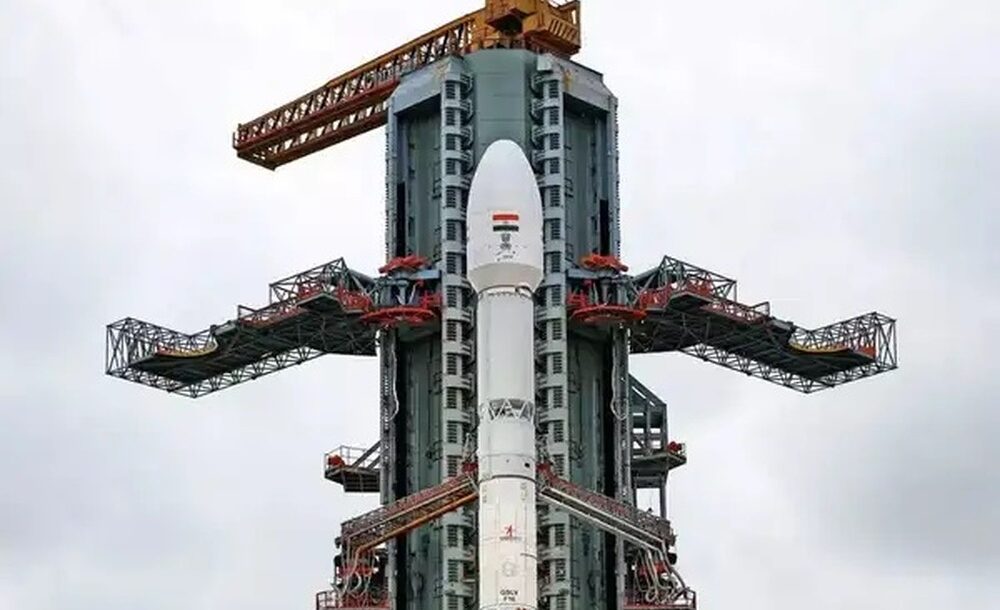

NEW DELHI – The satellite will aid in forecasting both natural hazards and those resulting from human activities.
Named NISAR, the satellite, which is roughly the size of a small truck, lifted off at 12:10 GMT from the Satish Dhawan Space Centre, located on India’s southeastern coast. It was deployed via a geosynchronous satellite launch vehicle operated by ISRO.
With a mission budget of $1.3 billion, scientists say NISAR will empower meteorologists and emergency responders to better anticipate floods, landslides, volcanic eruptions, and other environmental disasters.
Now orbiting Earth after its launch from India, NISAR will scan the planet’s terrain repeatedly using dual radar systems, one provided by NASA and the other by ISRO, operating both day and night to observe clouds, rainfall, and vegetation. This will result in an enormous trove of exceptionally detailed data.
Read More
- OCERA targets 2027 launch as new Sri Lankan airline takes shape
- “Build resilience before the next emergency arrives”: WHO chief Ghebreyesus tells BRICS leaders
- “Too early” to endorse JD Vance for 2028 presidential run: Trump
- US Air Force officer survives ’50 hours’ after being shot down over Iran: CBS News
- Passenger ship carrying over 241 people missing in Java Sea
Ahead of the launch, Nicky Fox, head of NASA’s Science Mission Directorate, said that this is a one-of-a-kind radar satellite that will revolutionize how they study the home planet and help them predict natural disasters more accurately before they strike.





