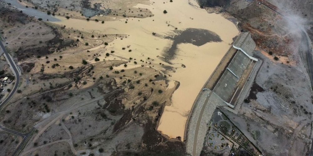

Muscat: The Ministry of Agriculture, Fisheries and Water Resources assigned a specialized company with the tasks of drafting consultancy services project to update and prepare flood risk maps.
The company will also prepare emergency management plans for handing flood risks in the Sultanate of Oman from 2024 to 2026.
The project seeks to update earlier flood maps and cover the full range of their risks in open plains and main valleys, as well as areas of chances for the formation of all water bodies in the Sultanate of Oman. It identifies floods geographically and classifies them in terms of risks, as posing “maximum”, “medium” or “minor” danger.
During different climatic conditions, these maps will help facilitate the operations of the National Emergency Management Committee, thereby saving lives and property in areas adjoining valleys. The maps also include the urban planning requirements that must be considered when allocating sites for residences or other structures.
Read More
- Oman reviews response to oil tanker grounding off Qibliya Island
- India expands training opportunities for professionals in Oman through ITEC programme
- Oman approves over RO 100,000 to support 144 scientific research papers
- Oman and Bahrain strengthen cooperation against human trafficking
- Oman signs two green hydrogen deals, targets 121,000 tonnes annually by 2032