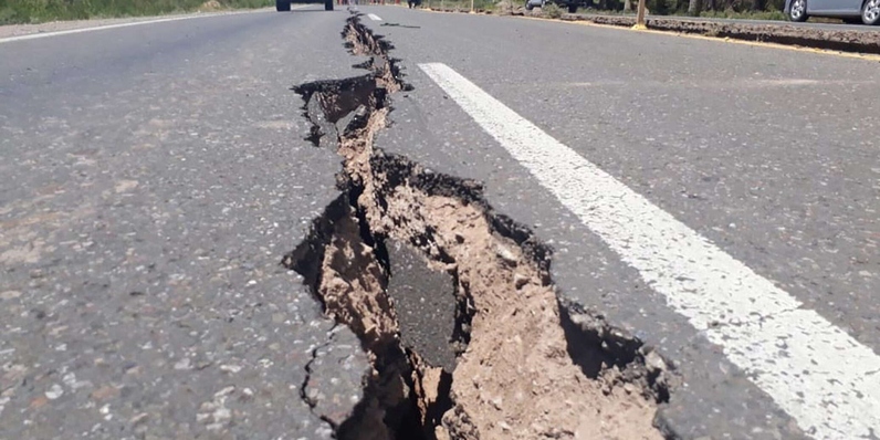

KERMAN : An earthquake measuring 4.3 on the Richter scale on Monday hit areas in Kerman Province, southeast of Iran, at a depth of 9 km from the surface of the earth.
And the Iranian Islamic Republic News Agency (IRNA) reported that this earthquake occurred in the outskirts of the city of Rawer, north of Kerman province, which is 130 km from the province’s center.
The assistant head of the emergency authority in Kerman province, Mehrdad Karimi said that this earthquake did not result in any losses as it took place outside the residential neighborhoods.
Read More
- Cholera surge puts millions of children at risk across Africa, UNICEF warns
- Qatar permanently bans 27 individuals from healthcare sector over fake certificates
- Historic solar eclipse to cross Europe as Spain awaits first total eclipse in more than a century
- Nepal: Bodies of three elite Nepali climbers killed in Broad Peak avalanche arrive in Kathmandu
- “We own it”: Trump reiterates “total control” over Strait of Hormuz
On Sunday evening a 5.0 magnitude quake hit Hormozgan province on Sunday evening, according to Earthquake Monitor Center of Sultan Qaboos University in Muscat.
It is worth noting that Iran is frequently exposed to earthquakes as a result of its occurrence in a collision zone between the plates located directly under the Earth’s crust, the deadliest of which was an earthquake of magnitude 7.7 that occurred in northwest Iran in 1990, in which 37,000 people were killed and 100,000 people were injured.





