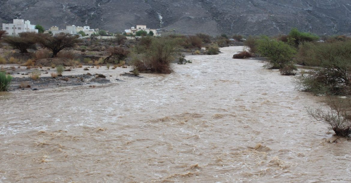

MUSCAT: Oman’s Civil Aviation Authority has issued an alert ahead of heavy rainfall that are expected to fall during the days of Thursday, Friday and Saturday which in some areas may range from 20 to 80 millimeters within 24 hours.
“The Civil Aviation Authority alerts all to take precautions during thunderstorms across the warning areas and to avoid low laying areas. In addition, stay alerted to the status of sea and take action to avoid rough sea,” the statement said.
Alert details for upcoming days:
Read More
- Oman, Kazakhstan review bilateral ties and regional developments
- Oman’s Health Ministry urges public to act on suspected unsafe food
- Low clouds, fog expected over Muscat and Al Batinah
- Oman sets October 15 deadline for approval to use national symbols on products
- Oman, Iran agree framework for safe shipping corridor through Strait of Hormuz
Thursday, July 7, 2022
Clouds advection from Oman sea and Arabian Sea will continue to affect most of the sultanate with chances of isolated thundershowers over governorates of Muscat, North Al Sharqiyah, South Al Sharqiyah, Al Dakhiliyah, North Al Batinah, South Al Batinah, Al Buraimi, Al Dhahirah , Al Wusta and Dhofar.
Expected impacts:
• Precipitation within the range of 20 – 80 mm, which may cause flow of some wadis (flash floods) with chances of hail.
• Fresh downdraft winds within the speed range of 30 – 70 km/h, which can cause blowing of unstable objects.
• Decreasing of horizontal visibility due to the thundershowers and rising dust.
• Rough sea over Arabian Sea coastal areas with maximum wave height of 4.5 meters and moderate to rough along the coastal areas of Oman Sea with maximum of 2 to 3 meters.
Friday (8/7/2022) and Saturday (9/7/2022) :
The impact of the low pressure area (Trough) will continue to affect the weather of the sultanate with chances of isolated thundershowers over governorates of Muscat, North Al Sharqiyah, South Al Sharqiyah, Al Dakhiliyah, North Al Batinah, South Al Batinah, Al Dhahirah, Al Wusta , Dhofar and parts of Musandam.
Expected impacts:
• Precipitation within the range of 30 – 80 mm in 24 hours, which may cause flow of some wadis (flash floods) with chances of hail.
• Fresh downdraft winds within the speed range of 40 – 80 km/h, which can cause blowing of unstable objects. Decreasing of horizontal visibility due to the thundershowers and rising dust.
• Rough sea over Arabian Sea coastal areas with maximum height of 4.5 meters and moderate to rough along the coastal areas of Oman Sea with maximum of 2 to 3 meters.





